| Mt. Kalisungan Province: Laguna 14.146500° N 121.344717° E | Listed in Gallery: Mountain Peak Like this destination? |
| waypoint data map and vicinity info route(s) to this waypoint view other POIs of Laguna Province | |
Click on any of the images to see the enlarged copy and narratives of the photo.


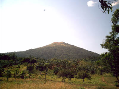
If you just want to be alone in a mountain then Mt. Kalisungan is for you. The reason I said this is that this is one of the least
popular climbing destinations south of Metro Manila.
To get there from Metro Manila, ride a bus going to Sta. Cruz Laguna (i.e. Greenstar
Bus) at Buendia Ave. corner Taft Ave. , tell the
conductor you will alight at Brgy. Masapang intersection the fare is 101.00 pesos/head.
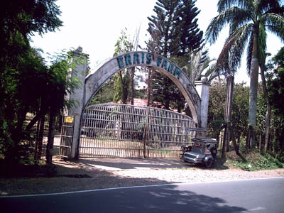
Masapang intersection has a huge statue of a duck with an egg so you will never miss it. At the intersection take a tricycle to ERAIS farm the fare is 10.00 pesos/head.
At the ERAIS farm gate ask for Eric (the farm administrator) to register. He will brief you on the trail and he can assign a local guide if
you choose to have one.
The peak can be reached with in 2 to 3 hours walk from the farm gate. The trail will pass inside the ERAIS farm then turns right to a coconut plantation then goes straight up the mountain.
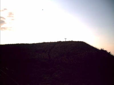
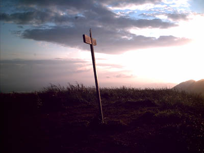
At the peak the mountain offers a full 360-degree view of Laguna, and you can see the more popular mountains like Makiling, Banahaw, Sembrano, Talim , Malepunyo.
Waypoint narrative by: Cesar_Modina 2007 follow Cesar_Modina on Facebook
