| Salaza Rapids Province: Zambales 15.430400° N 120.038283° E | Listed in Gallery: Spring or River Like this destination? |
| waypoint data map and vicinity info route(s) to this waypoint view other POIs of Zambales Province | |
Click on any of the images to see the enlarged copy and narratives of the photo.


We've been told that this river had gushing rapids and exciting
"jacuzzi-like" cascades at certain times of the year. However, we
trekked this river at a time of the year (November) when it had minimal
water flow and there were hardly any rapids. Were we disappointed?
Not a all! In fact we were so pleased with what we saw.
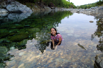
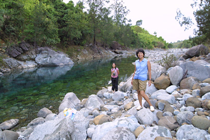
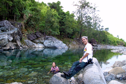
This river had the cleanest, clearest, freshest water we had
ever seen in a river section that is nearly at the foot of a mountain.
Normally, water tends to get murky or muddy as it travels distances from its
water sources in the mountains. You normally would not expect clear
water flowing once it reaches the foot of the mountain. But, amazingly,
this river's water is crystal clear! It is so clear that one can see
the boulders on the riverbed on portions as deep as 15 feet! One can
only conclude that the mountains from where this river's waters came from
has never been touched by civilization.
How to get there
We consider this waypoint a "trekker's destination". It is not for
the casual tourist as there are very few landmarks that can effectively
be used for a "how-to-get-there" narrative. Moreover, the waypoint
does not have a common name, asking around for directions from townsfolk
may prove to be difficult. We will rely on GPS coordinates here.
This waypoint is 13.2km, 027.8deg from Iba, Zambales. By road it
is about 28km from Iba.
From Iba, take the main provincial road and head north (towards Masinloc)
to a dirt road junction at 15°26.802N 119°57.036E. Take
the dirt road and head eastward about 10.8km (road distance) to
15°25.824N 120°02.297E where you will end up near an irrigation catch
dam and watergate structure. Downstream, about a hundred meters, you can find
for yourself some great swimming areas and probably a place to pitch a tent.
Tips
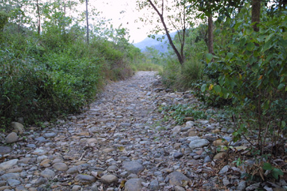
4x4 vehicles recommended. As of travelogue time (2001),
the road that leads to this waypoint is a true dirt road, with some sections
paved only with rocks about 6 inches in diameter! While you may be able to
use a regular car to go here, we would not recommend it especially when it is
raining.
Beware of flash floods Whether you will be pitching a tent for the
day or you are only planning to swim for just a couple of hours, be always on the lookout for
rain on the mountains. We've heard that a short rainfall on the mountains
can deliver a flash flood on this river in less than 5 minutes and may catch you
by surprise. Do not pitch your tent or place things you have to evacuate
very close to the river.
Waypoint narrative by: EPPGarcia 2002 follow EPPGarcia on Facebook
