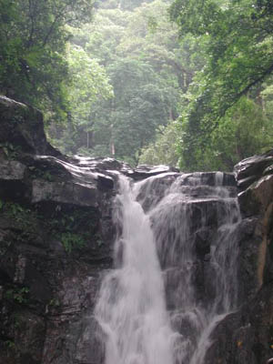
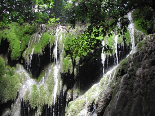
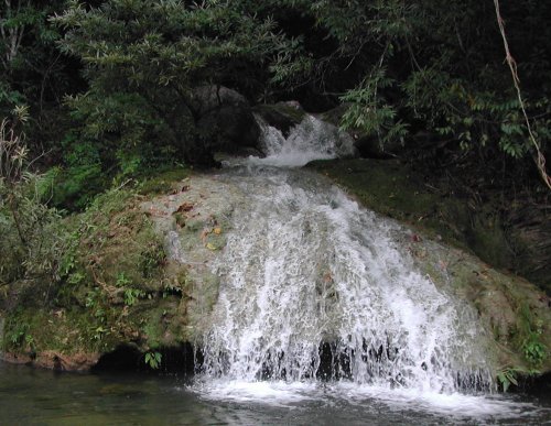
| St. Ines Falls Province: Rizal 14.758883° N 121.320117° E | Listed in Gallery: Waterfalls Like this destination? |
| waypoint data map and vicinity info route(s) to this waypoint view other POIs of Rizal Province | |
Click on any of the images to see the enlarged copy and narratives of the photo.
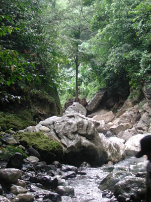
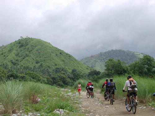

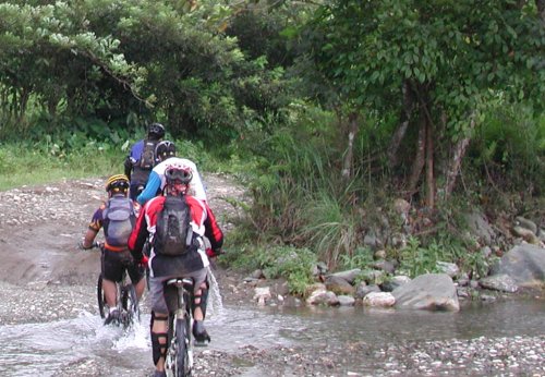
Track recording starts at Marcos Hiway Tanay portion. You will enter Barangay San Andres which is on Marcos Hiway, a few kilometers before you reach Sierra Madre Hotel. From here its about 10 kilometers to reach Sta Ines town proper on fireroads (thats the pics of us on our bikes on dirt road). To reach the falls, its another 10 kilometers hike, bike or 4x4 ride on doubletracks and numerous river crossings (thats the pics of us on our submerged bikes in water). Note that the rivers are unpassable during the rainy season.
Waypoint narrative by: padyakbud 2006 follow padyakbud on Facebook
